Overview
Sky-Futures™, an ICR company, is a distinguished leader in UAS inspection services, catering to global clients across industries including; oil and gas, renewables, marine and port services, civil infrastructure and telecommunications. With over a decade of experience in the industry, Sky-Futures™ were among the pioneers to introduce unmanned technology to the oil and gas inspection market, consistently deploying cutting-edge innovations to meet the evolving needs of our clients.
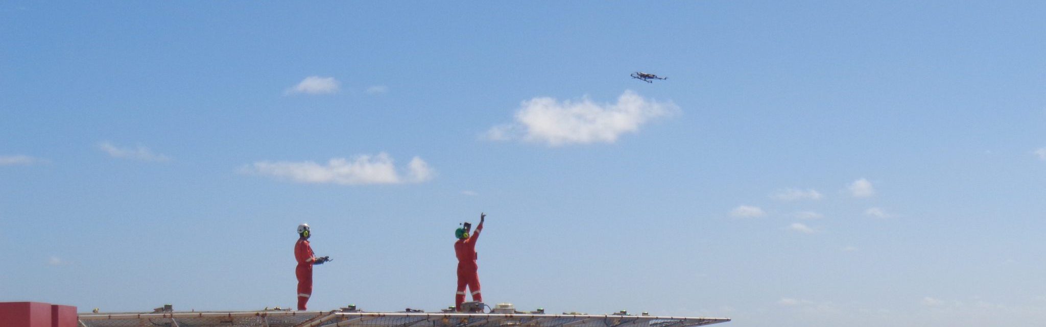
UAS inspections are up to 85% faster than traditional inspection techniques, capable of operating in winds up to 29 knots, reducing the need for direct human exposure while gathering high-quality, measurable, and dynamic inspection data. Remote Inspection is also proven to be up to 85% more cost-effective than traditional methods, as they don’t require the shutdown of platforms and are operated by a lean two-man team.
Track record
Our extensive customer base spans across more than 42 countries, fostering a wealth of experience across onshore and offshore operations. With an international presence covering the UK, USA, South America, Europe, Africa, Middle East, South East Asia, and APAC, we are well-versed in navigating the regulatory and logistical intricacies that enable us to deliver unmanned technology solutions on a global scale.
Our inspection teams consist of highly experienced remote pilots and qualified inspection engineers as sensor operators.
Our services
- Visual inspection and survey
- External and internal inspection
- Fugitive emissions survey covering multiple gases in line with OGMP 2.0
- Confined space inspection
- Flare tip inspection
- Wind turbines
- DROPS and PDO survey
- Storage tanks
- Digital twin and orthomosaic capability
- Ultrasonic testing – class-leading sensor and aircraft
- 3D modelling that combines tripod-mounted Lidar scanning with aerial datasets
- Payload technologies include; visual, thermal, surveying, gas detecting, live streaming, multispectral and NDT
Benefits
Reduce risk to personnel through UAS inspections and avoid working at height
85% more cost effective than traditional inspection methods
Quality data and analysis through secure cloud based reporting
Case Studies
-
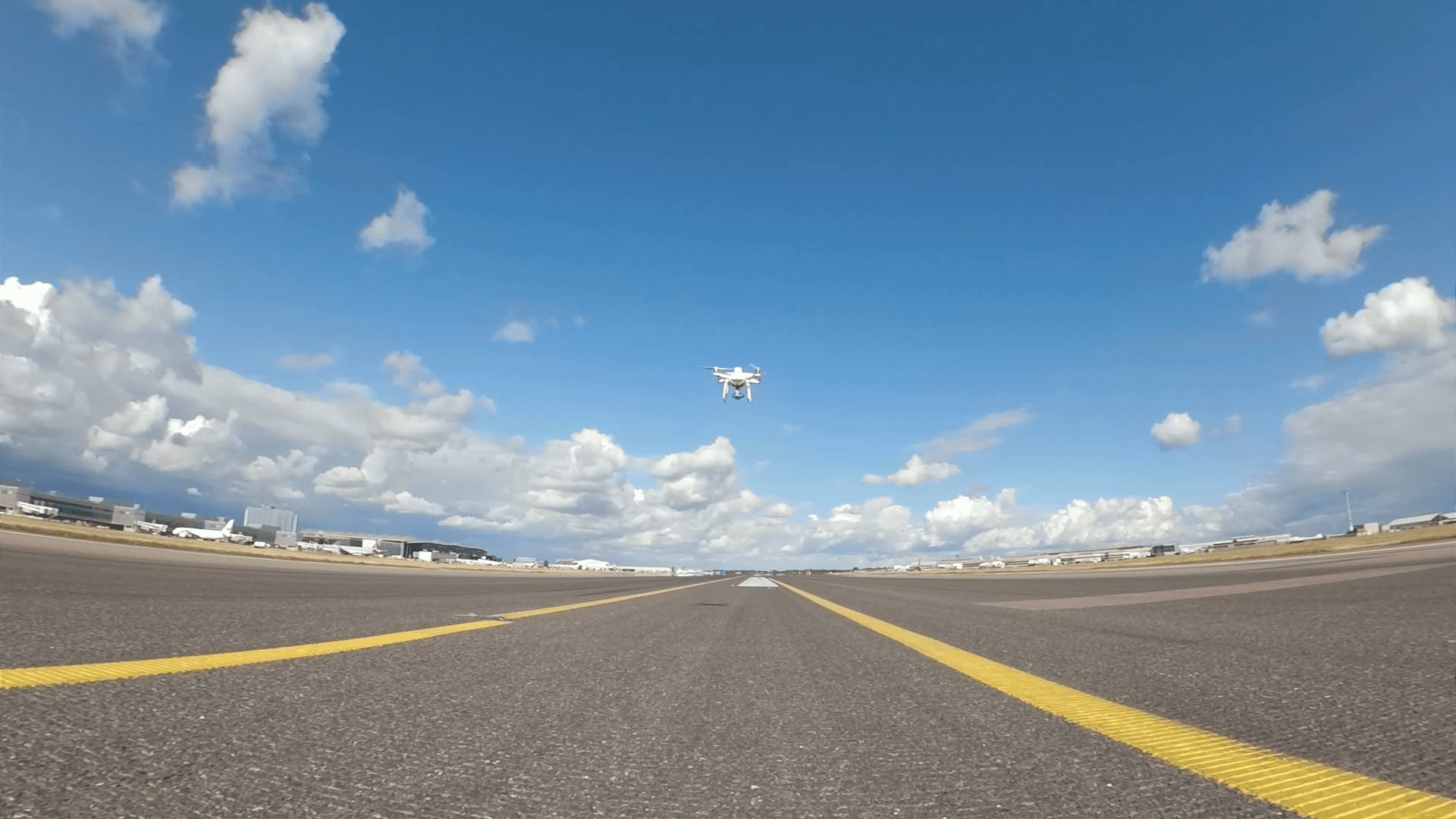
Drone survey of Heathrow Southern runway
Ferrovial Construction, as part of the Southern Runway Targeted Interventions integrated project team, employed Sky-Futures™ to conduct a drone-based photogrammetry survey of the southern runway at Heathrow Airport in July 2020.Read more -
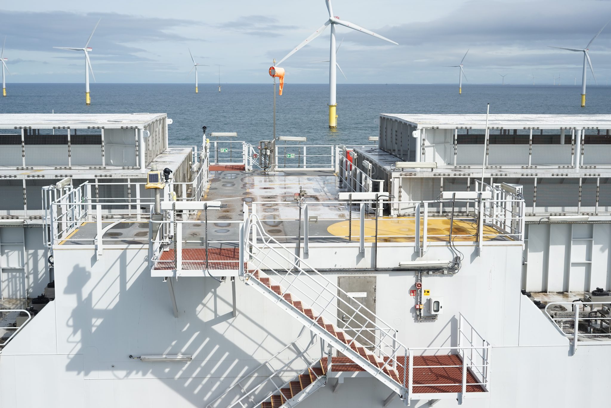
Enhancing offshore infrastructure for Dataverse-AIM
Dataverse-AIM, is a software development and consultancy business that provides asset integrity management software and data validation support services.Read more -
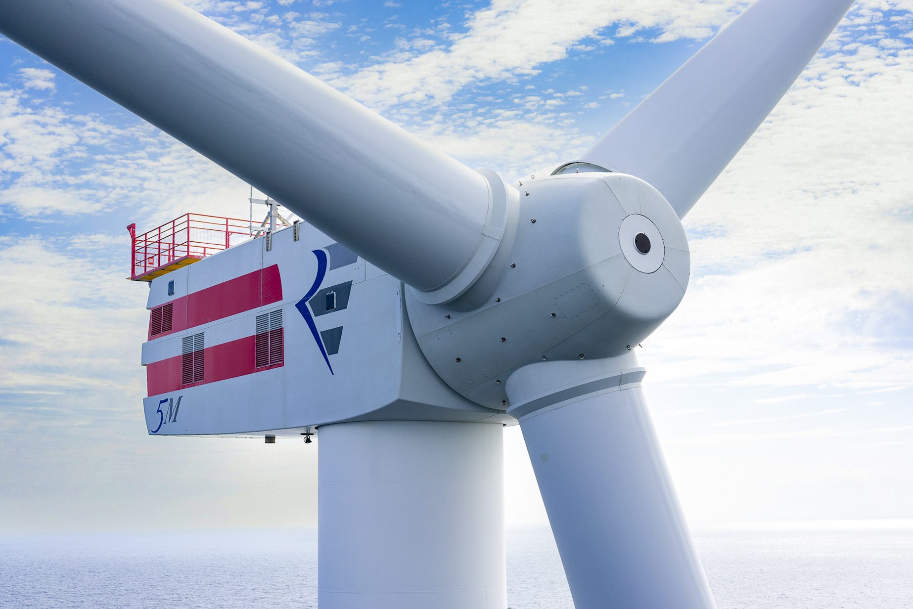
Wind turbine inspection – effective decommissioning planning
Repsol Sinopec, a prominent energy conglomerate, enlisted ICR’s Sky-Futures™ drone inspection team to perform a thorough assessment of two wind turbines situated in the Beatrice oil field, located in Scotland’s Moray Firth.Read more